Lakes
The Connecticut Lakes
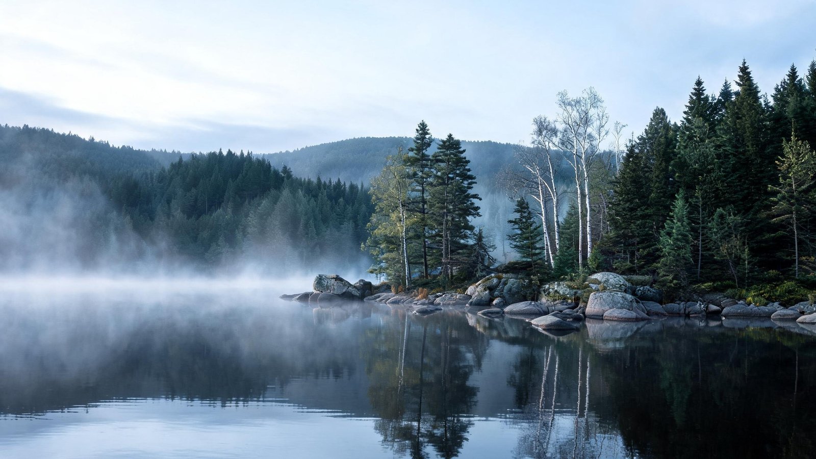
Four lakes in sequence — First through Fourth Connecticut Lake — rising toward the Canadian border. The fourth is a small pond at the very top; the first three are proper lakes with boat access.
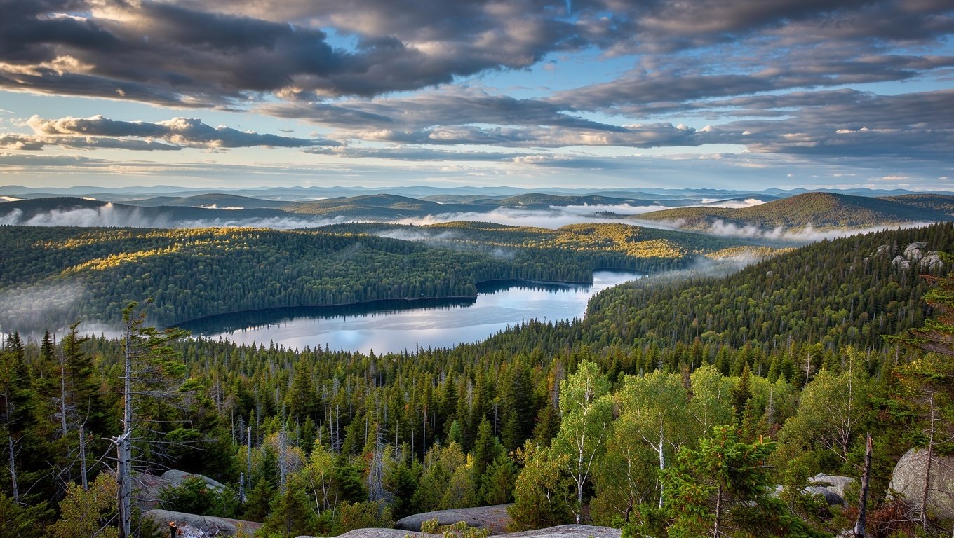
Above the White Mountains the state continues for another ninety minutes into working forest, a chain of lakes, and the best chance of seeing a moose you will get in the Northeast.
The Great North Woods is the northernmost strip of New Hampshire, running from roughly the White Mountains up to the Canadian border. It is mostly privately owned working forest — logged, replanted, and lightly populated — which is precisely why it feels the way it does.
The practical corridor is Route 3, which runs north through Colebrook to Pittsburg and then up along the Connecticut Lakes to the border. Towns are small and services are thin. This is not a region to arrive in without fuel, food and a plan.
What you get in exchange: real quiet, an intact boreal-forest ecosystem, loons on the lakes, and a genuinely high chance of seeing moose at dawn or dusk.
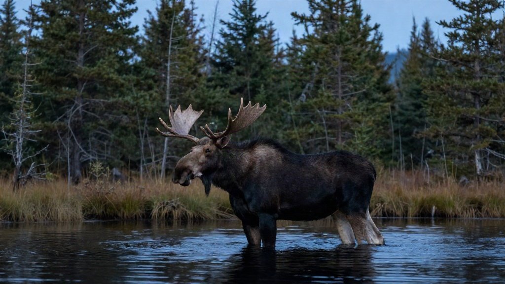
New Hampshire has a substantial moose population, concentrated in the north. They are large, dark, and — critically for drivers — almost invisible against a treeline at dusk.
Moose are tall and heavy, with long legs and a body mass that sits above most car bonnets. A collision is far more dangerous than a deer strike. Reduce speed at dusk, scan the road edges rather than the centre line, and if you see one, slow down and assume there are others behind it.
Never approach on foot. Give them at least 50 metres and stay in the vehicle.
Four lakes in sequence — First through Fourth Connecticut Lake — rising toward the Canadian border. The fourth is a small pond at the very top; the first three are proper lakes with boat access.
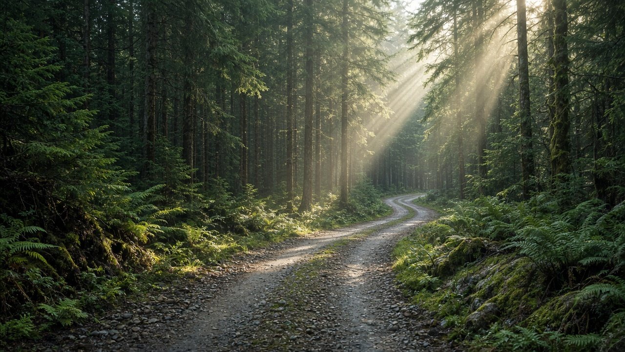
A rough gravel road and a short climb to a fire tower with a 360-degree view over unbroken forest. The best panorama in the region, and you will likely have it alone.

Colebrook is the last real town with a supermarket and fuel. Pittsburg is the end of the line: a scattering of lodges, a general store and a lot of trees.
| From | To | Time | Note |
|---|---|---|---|
| Lincoln | Colebrook | 1 hr 30 | Via Route 3 north |
| North Conway | Pittsburg | 2 hrs | Via Route 16 and 26 |
| Colebrook | Pittsburg village | 25 min | Fuel in Colebrook |
| Pittsburg | Canadian border | 35 min | Fourth Connecticut Lake trail |
| Boston | Colebrook | 3 hrs 30 | Long day drive |
June to September is the accessible window: lakes warm enough to swim, trails dry, wildlife active.
Late September to early October brings colour and the moose rut — arguably the best combination of the year.
February and March are for snowmobiling; the region has an extensive trail network and this is when the lodges fill.
April and November are between seasons: muddy, quiet, and many businesses closed.
Route 3 between Pittsburg and the Canadian border is the most reliable corridor, particularly around the lakes and bogs. Go at dawn or dusk, drive slowly, and scan the road edges. Late May–June and late September–October are the best windows.
Very patchy, and absent for long stretches north of Colebrook. Download offline maps and do not rely on navigation apps working.
You can drive to the border crossing at Pittsburg, but crossing requires normal immigration formalities. The Fourth Connecticut Lake trail starts near the border and is a short, worthwhile walk.
If you want solitude and wildlife, yes — it is the least visited part of the state and feels genuinely remote. If you have only three days, spend them in the White Mountains instead.
Most northern trips start in the White Mountains and continue up Route 3.