Cog Railway
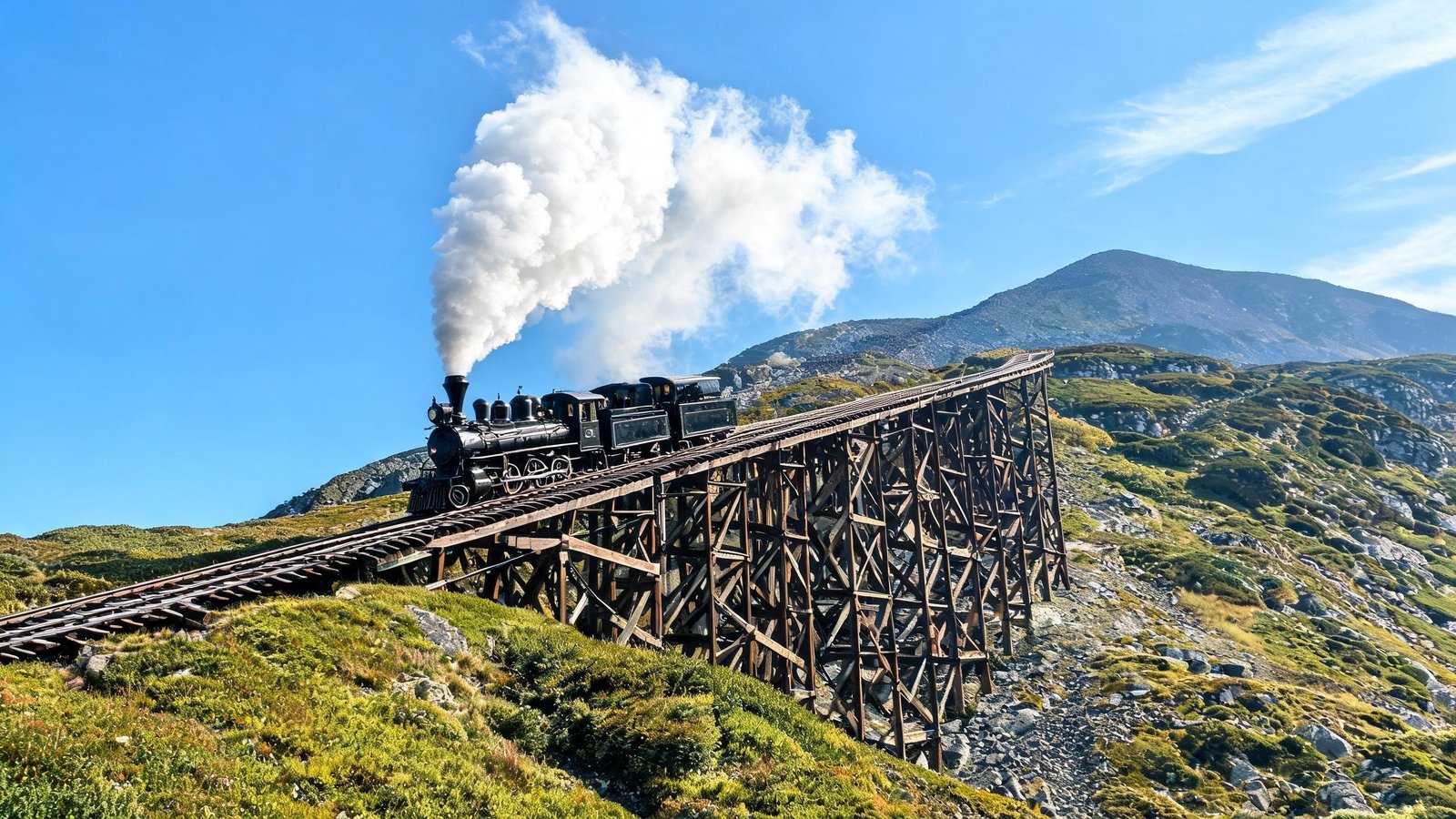
The world's first mountain-climbing cog railway, running since 1869. Board at Marshfield Station and climb the steepest railroad grade in the world at up to 37.4%.
About 3 hours round trip. Reserve well ahead in foliage season.
Forty-eight peaks above 4,000 feet, three notches, one very unpredictable summit. Here is how to plan around weather, crowds and the fact that everything is further apart than it looks on the map.
The White Mountains run roughly north-east to south-west across the upper third of the state, and they split into two practical halves divided by the spine of the ridgeline.
The western side is built around Interstate 93, which threads through Franconia Notch. Lincoln is the base, Flume Gorge and the Basin are minutes away, and the Kancamagus Highway starts on the edge of town.
The eastern side centres on North Conway, where Route 16 runs north through Pinkham Notch toward Mount Washington's eastern flank. This is also where the outlet shopping, the scenic railroad and the family attractions cluster.
Crawford Notch sits between them on Route 302, and it is the most underrated of the three — a long glaciofluvial valley with the grand Mount Washington Hotel at its head and Arethusa Falls a short detour away.
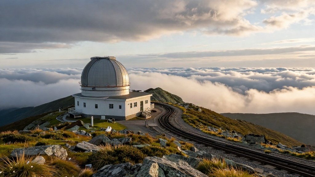
The mountain holds the world record for a wind gust measured at a land station — 231 mph in 1934 — and it still routinely records hurricane-force winds in summer. Treat the summit as alpine terrain, not a viewpoint.
The world's first mountain-climbing cog railway, running since 1869. Board at Marshfield Station and climb the steepest railroad grade in the world at up to 37.4%.
About 3 hours round trip. Reserve well ahead in foliage season.
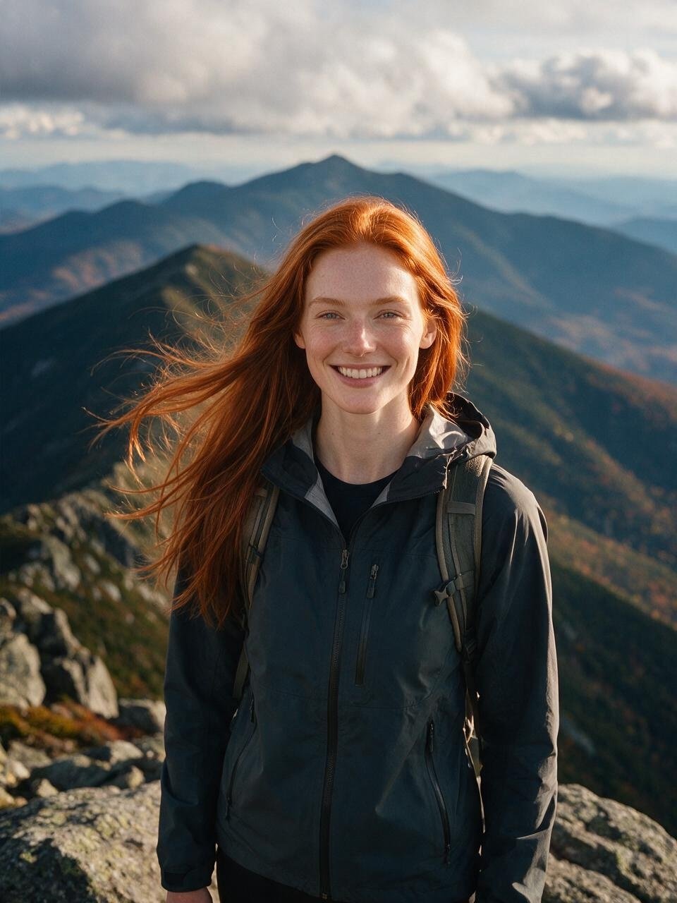
A 7.6-mile toll road climbing roughly 4,600 feet. Drive yourself or take a guided van tour. Low gears on the descent — brake fade is the real hazard, not the climb.
Closed in high wind, ice or low visibility. Check before driving up.
Lions Head and Tuckerman Ravine trails start from Pinkham Notch; Ammonoosuc Ravine and Jewell come up the western side. All are serious full-day outings with real exposure.
Turn around if weather builds. The mountain has a long record of hypothermia rescues in July.
The temperature at the top averages 20–30°F colder than in the valley, and winds are frequently above 40 mph. Bring a windproof shell, gloves and a hat even in August. The summit building has a cafeteria and museum, so you will not starve — but you will be cold in shorts.
Interstate 93 narrows to two lanes through Franconia Notch State Park, which tells you something about how tight the geography is. Everything here is close together and mostly accessible from the parkway.
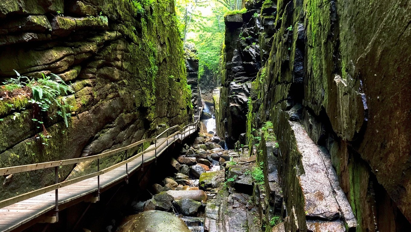
A 90-foot-deep granite chasm with a two-mile loop that includes boardwalks bolted to the rock walls, a covered bridge and a small waterfall. Timed-entry tickets are essential in summer and non-negotiable in foliage season.
A short, free walk from a car park on the parkway to a 20-foot glacial pothole carved into granite. Good for children, quick stops and rainy days when higher trails are unpleasant.
An 80-passenger tram to the 4,080-foot ridge, with a viewing deck and a restaurant. On a clear day you can see into Vermont, Maine and — allegedly — Canada. It also gives you the easiest possible access to a genuine alpine ridge walk.
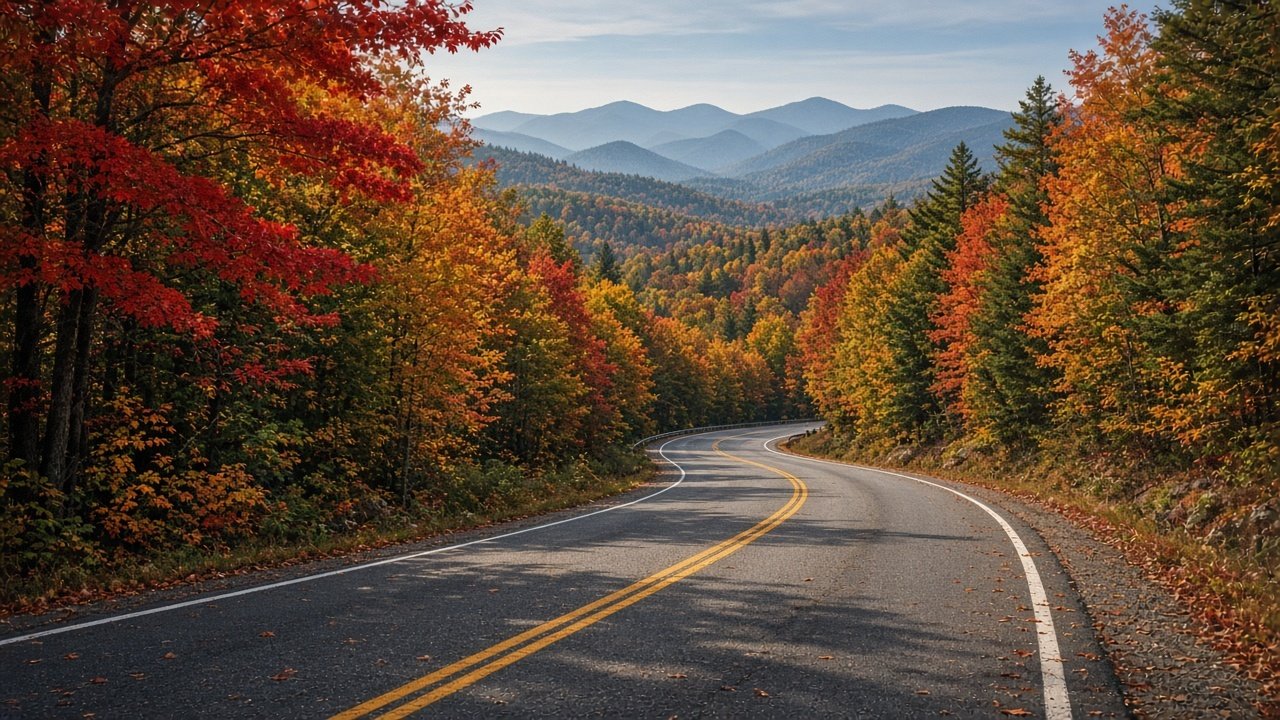
Route 112 between Lincoln and Conway, 34 miles of two-lane road with no services and no billboards. It is a destination in its own right rather than a route between two.
Distances are round trip. Always carry more layers than you think you need — the temperature drop above treeline is abrupt.
| Hike | Distance | Gain | Why go |
|---|---|---|---|
| Mount Willard | 3.2 mi | 900 ft | Best effort-to-view ratio in Crawford Notch |
| Lonesome Lake | 3.0 mi | 1,000 ft | A mountain lake with an AMC hut on the shore |
| Diana's Baths | 1.5 mi | 200 ft | Easy cascade walk near North Conway |
| Arethusa Falls | 2.8 mi | 800 ft | New Hampshire's tallest single waterfall |
| Mount Tecumseh | 5.0 mi | 2,000 ft | The gentlest official 4,000-footer |
| Zealand Falls | 5.0 mi | 600 ft | Valley walk to a hut and a cascade |
| Mount Chocorua | 7.8 mi | 2,300 ft | Exposed rocky summit, dramatic in any season |
| Tuckerman Ravine | 8.2 mi | 4,300 ft | To the summit via the classic eastern route |
| Franconia Ridge Loop | 8.6 mi | 3,900 ft | The state's signature ridge walk — exposure, weather, crowds |
The Franconia Ridge Loop and Tuckerman Ravine are genuine mountain days. Above treeline you are exposed to wind and rapidly changing visibility, and the rock is wet and slick more often than not.
Direct I-93 access, five minutes from Flume Gorge, and the western end of the Kancamagus. Motels, condos and a handful of inns. Best for first-timers and hikers.
The busiest town in the mountains: outlets, restaurants, the scenic railroad and family attractions. Best for families and anyone who wants options in the evening.
Quieter, more upscale, anchored by the grand Mount Washington Hotel. Best for a splurge night, golf, nordic skiing and porch views.
Foliage weekends — roughly the last week of September through the second week of October — sell out months in advance, and minimum-stay rules appear. Winter weekends around school holidays behave similarly.
The quietest, cheapest weeks are late October after the leaves drop, early December before the snow base sets, and April. Some businesses close in April, so check before committing.
Waterfalls at full flow, trails muddy, summits still snowy into May. Very few visitors and the year's lowest rates.
All trails open, long days, afternoon thunderstorms most weeks. Start hikes early. Family attractions fully open.
Peak colour late September at elevation. The region's busiest and most expensive fortnight. Book early.
Ski season at Loon, Cannon, Bretton Woods and Attitash. Summit road and railway close; snowshoeing and nordic take over.
Yes — the Auto Road climbs 7.6 miles and about 4,600 feet to the summit. The Cog Railway is the alternative. Both are seasonal and close in high wind, ice or poor visibility, so check the morning you plan to go rather than booking weeks ahead with no backup.
The drive itself is about an hour. With stops at Sabbaday Falls, Rocky Gorge and the pass viewpoint, allow three to four hours. On October weekends add another hour or two for car parks.
Mount Tecumseh at about five miles round trip, or Mount Waumbek at roughly seven miles with gentler grades. If you want a big view for little effort, Mount Willard is three miles and delivers far more than it should.
Yes in practice. Timed-entry tickets sell out in summer and are essential in foliage season. Book before you travel.
Not really. There is no practical public transport between trailheads, notches and towns. A car is essential.
Pair the mountains with a lake or the coast, and check the foliage calendar before you book.